Geoinformation and Geo-archive Service
Focused on service to the public, with a solid base of geodata resource accumulation and main geological work procedure informationization, geoinformation system has primarily been
established at China Geological Survey. Huge data resource has been gathered through national geo-databases development. And achievements have been made in geological work procedure informationization. Geoinformation standard and computer network infrastructure have been improved. Geo-archives and information service have been developed towards integration and industrialization.
Branch computer network has been established with connection to the China Geological Survey headquarters. Safe multimedia data transmission through network has been utilized in daily work. A system for multiple level of distributed geo-archive and professional geoinformation integration and service has also been developed based on GRID technology. A digital geological survey system has been developed with integration of PDA, digital compass, GPS, GIS and RS. Main geological work procedure informationization has been made from data collection in the field to indoor data processing and service.
Final target of geoinformation development is geodata and geoarchive service to the public. China Geological Survey has made great achievements in the release and service to the public of
geological mapping data, mineral deposits data, hydrogeology data, geo-hazard and geo-environment data, and geo-archives, etc. on the basis of geo-database integration and information sharing platform construction. About 110,000 volumes of geo-archives and databases have been released to the publish, including 1:50,000 geological map database, 1:200,000 geological map database, 1:200,000 hydrogeology map database, 1:200,000 heavy mineral database, national mineral deposits database, and so on.
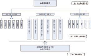
Overall framework of
geological information service
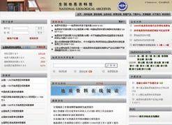
Website of National GeologicalArchives of China
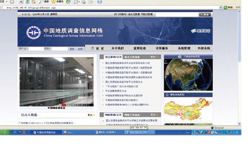
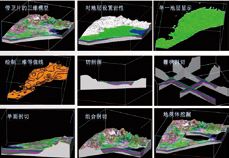
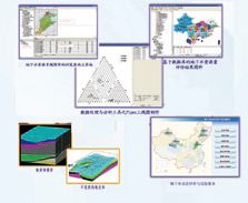
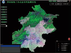
Various kinds of professional
application systems
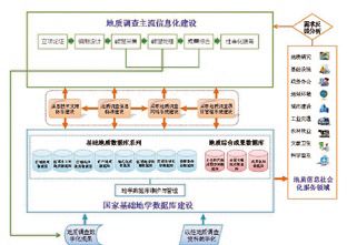
Informatization construction
framework of geological survey
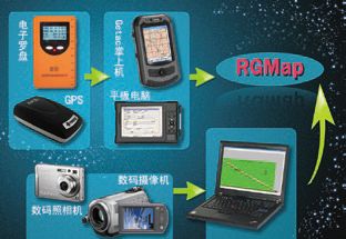
Digital geological survey system
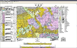

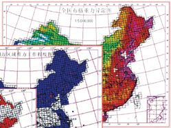
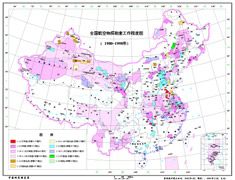

Various kinds of basic
geological databases


